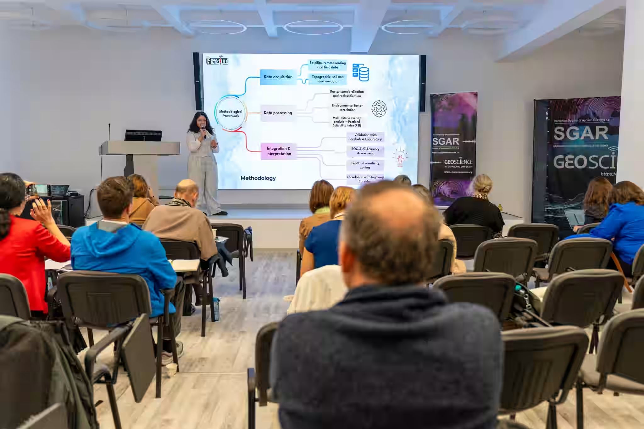
At Geoscience 2025, the Geostud Geotechnics Department team presented the study entitled „Peatland Suitability Mapping Using Remote Sensing and GIS Techniques for Infrastructure Planning: Brașov-Bacău Highway, Romania”, conducted by Widad Al-Taha, Andreea Andra-Topârârceanu and Sebastian Mustățea.
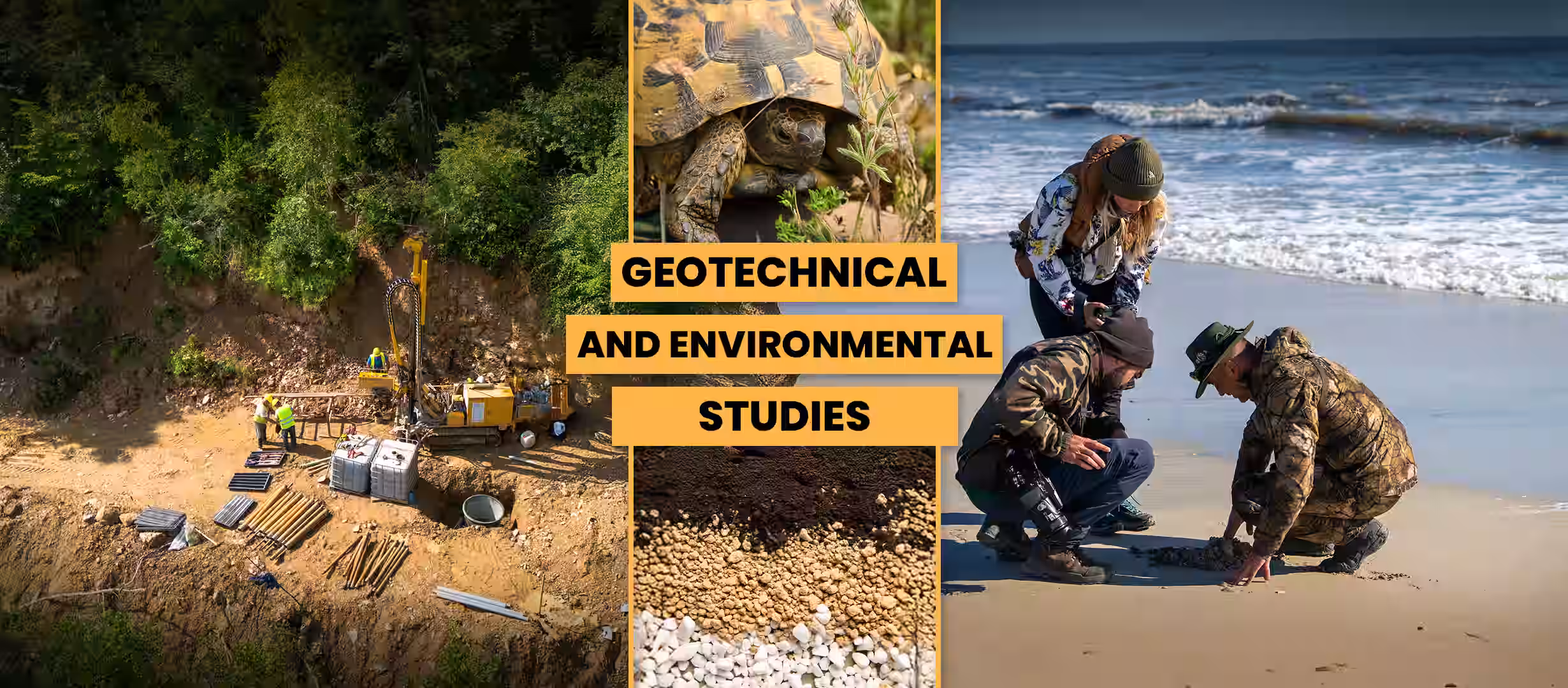
The paper leverages modern spatial analysis tools and multidisciplinary data to support responsible planning of infrastructure projects. The study combines geomorphological, geotechnical, ecological and GIS data in the identification and assessment of peatland areas, providing an integrated perspective on the interaction between the natural environment and infrastructure development.
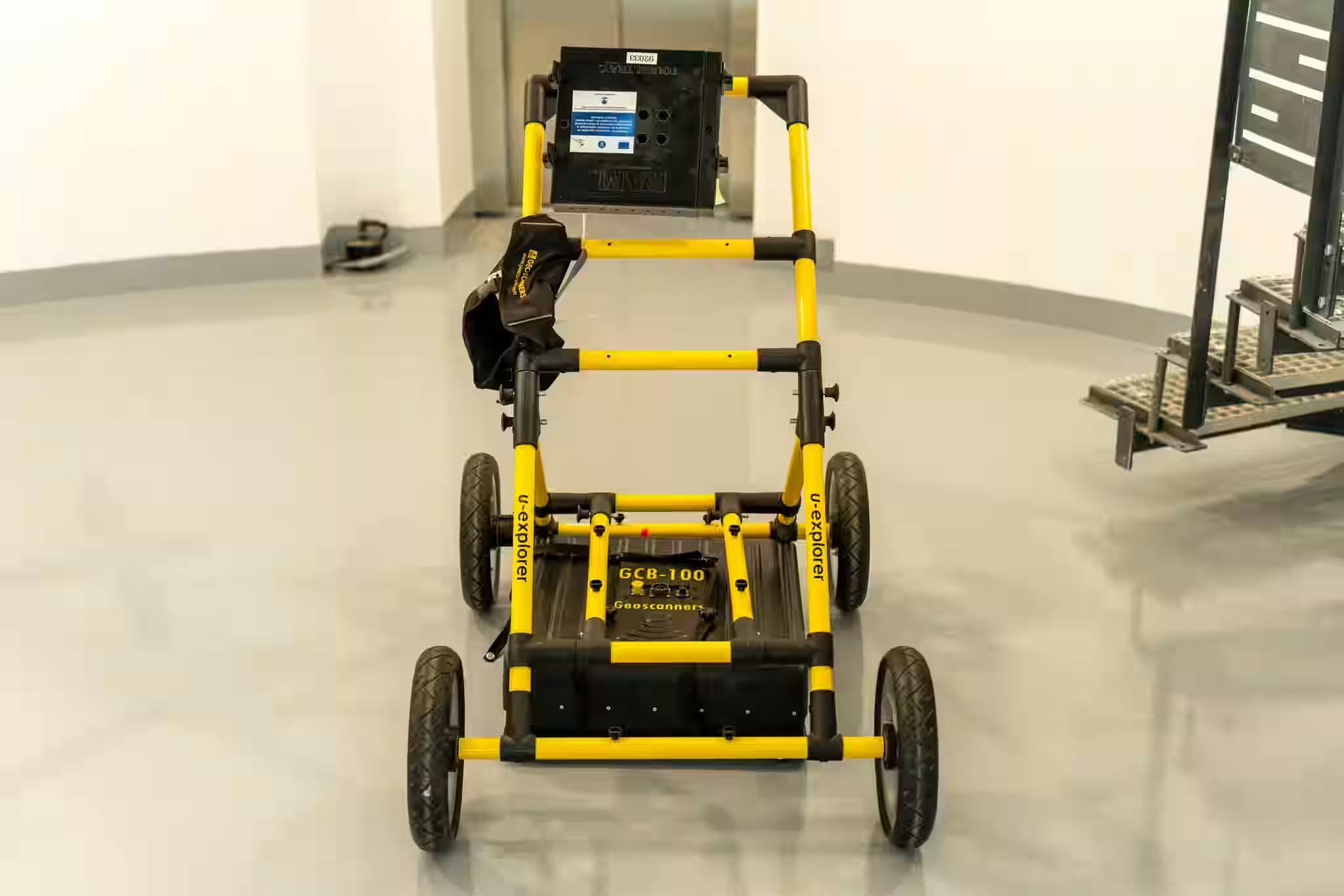
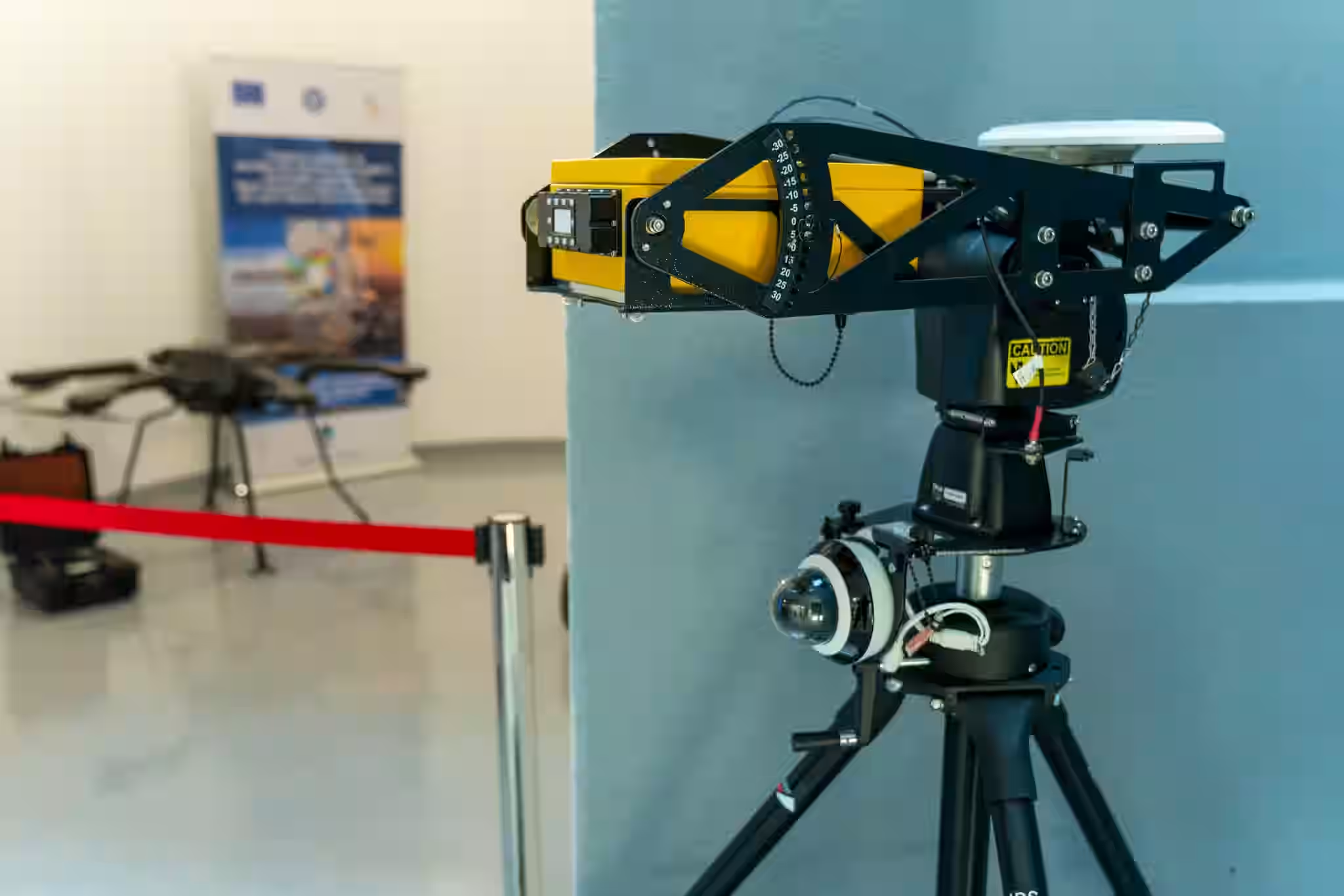
During the conference, the Geostud team analyzed modern solutions in the field of applied geophysics and remote sensing technologies, such as:
- drones equipped with LiDAR, multispectral and GNSS sensors;
- Leica 3D laser scanner;
- GPR (Ground Penetrating Radar) equipment;
- SLAM systems for high-precision mapping.
These advanced technologies support the development of an integrated process of geotechnical investigation, modeling and planning, helping to create modern, safe and energy-efficient infrastructure projects.
The Geoscience 2025 event, organized by the Society of Applied Geophysics of Romania (SGAR), brought together specialists in the fields of geotechnics, geophysics, hydrogeology and environmental protection, providing a framework dedicated to the exchange of expertise and technical progress.
Geostud's participation in this event reinforces the company's direction of integrating digital technologies and advanced analysis methods in land investigation, 3D modeling and sustainable infrastructure planning.